Mapping a Country

This product is not currently available.
To help you find what you're looking for, see similar items below.
This product has not been rated yet.
0 reviews (Add a review)

Delivery information
- FREE ROI postage on orders €40 or over
- €8 postage charge on ROI orders
under €40
Book Club orders
- FREE postage to schools*
- Books will be despatched after the school's order is confirmed
ROI postage within 8 working days
Postage charges and times vary for overseas addresses
Delivery information and refund and returns policy
*Excluding border charge
Categories
Product description
Full of hands-on activities to help you learn all about map skills whilst also learning about the features of a the UK. This book will show you what a bird’s eye map is by looking at aerial photos; how landmarks can be shown as symbols; how to measure scale and distance; what map plans are; how compass points show you how to find directions; how to follow pathways and roads; how to use grid references; looking at landuse ; and looking at transport maps.
Illustrations by Sarah Horne in an amusing and lively style are combined with photographs to really capture a child’s attention helping them to learn these important map skills.
Product Details
Format
Hardback
ISBN
9780750285735
Publisher
Date published
April 2nd, 2015
Other details
- 32 pages
Condition
New
Reviews
This product has not been reviewed yet.
Add a review
Similar items
-

6copies
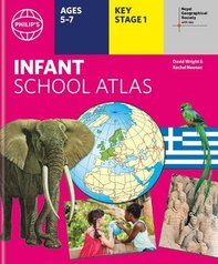
Philip's Infant School Atlas (6 Copies)- eur prices
- Offer price: €62.40
- Rewards/RRP: €79.29
-
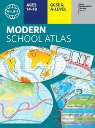
Philip's RGS Modern School Atlas
- eur prices
- Offer price: €12.90
- Rewards/RRP: €16.16
-
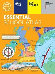
Philip's RGS Essential School Atlas
- eur prices
- Offer price: €10.50
- Rewards/RRP: €13.22
-
5books
Favourite Welsh Fiction 5 Book Set- eur prices
- Offer price: €36.40
- Rewards/RRP: €58.73
-
Lift-the-flap Questions and Answers about Our World
SAVE Promo available
- eur prices
- Offer price: €10.00
- Rewards/RRP: €14.29
-
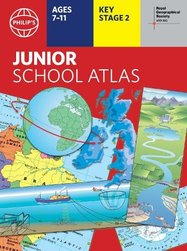
Philip's RGS Junior School Atlas
- eur prices
- Offer price: €10.50
- Rewards/RRP: €13.22
-
6copies
Philip's Junior School Atlas (6 Copies)- eur prices
- Offer price: €62.40
- Rewards/RRP: €79.29
-
Philip's RGS Infant School Atlas
- eur prices
- Offer price: €10.50
- Rewards/RRP: €13.22
-
30copies
Philip's Junior School Atlas (30 Copies)- eur prices
- Offer price: €279.50
- Rewards/RRP: €396.46
-
6copies
Philip's Essent School Atlas (6 Copies)- eur prices
- Offer price: €62.40
- Rewards/RRP: €79.29
-
30copies
Philip's Infant School Atlas (30 Copies)- eur prices
- Offer price: €279.50
- Rewards/RRP: €396.46
-
30copies
Philip's Essential School Atlas (30 Copies)- eur prices
- Offer price: €279.50
- Rewards/RRP: €396.46


