Mapping the UK Pack Pack
This product is not currently available.
To help you find what you're looking for, see similar items below.
This product has not been rated yet.
0 reviews (Add a review)

Delivery information
- FREE ROI postage on orders €40 or over
- €8 postage charge on ROI orders
under €40
Book Club orders
- FREE postage to schools*
- Books will be despatched after the school's order is confirmed
ROI postage within 8 working days
Postage charges and times vary for overseas addresses
Delivery information and refund and returns policy
*Excluding border charge
Product description
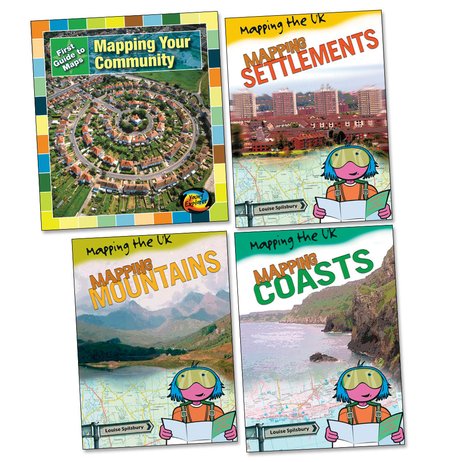
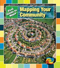
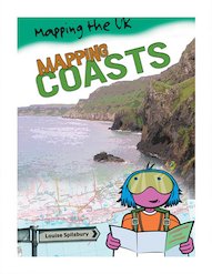
From mountains and rivers to communities and settlements, how can we use maps to represent our environment, showing its features in different ways? Find out in these exciting first geography books, which show children how to use and interpret maps of many types, including relief maps, street plans, national maps and global maps. Introducing map features such as scales and grid references, each book is packed with colourful illustrations and visual examples, plus mapping activities and games. A great way to build confidence with maps while finding out what different types of maps are used for.
Product Details
Format
Paperback
Condition
New

Reviews
This product has not been reviewed yet.
Add a review
Similar items
-

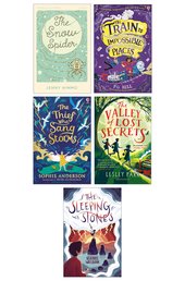
5books
Favourite Welsh Fiction 5 Book Set- eur prices
- Offer price: €36.40
- Rewards/RRP: €58.73
-
Lift-the-flap Questions and Answers about Our World
- eur prices
- Offer price: €10.00
- Rewards/RRP: €14.29
-
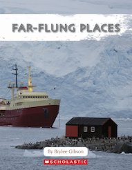
6copies
Connectors Ages 10+: Far-Flung Places (6 Copies)- eur prices
- Offer price: €48.10
- RRP: €57.33
- Not available to buy with Rewards
-
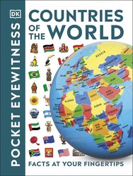
Countries of the World
- eur prices
- Offer price: €7.00
- Rewards/RRP: €8.81
-
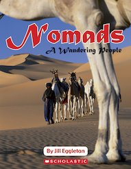
6books
Connectors Ages 9+: Nomads - A Wandering People (6 Copies)- eur prices
- Offer price: €48.10
- RRP: €57.33
- Not available to buy with Rewards
-
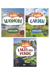
4books
The Great Outdoors (4 Book Set)- eur prices
- Offer price: €32.50
- Rewards/RRP: €52.86
-
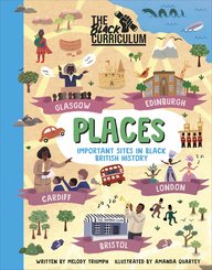
The Black Curriculum: Places
- eur prices
- Offer price: €9.10
- Rewards/RRP: €14.69
-
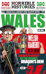
Horrible Histories Special: Wales (newspaper edition)
- eur prices
- Offer price: €7.00
- Rewards/RRP: €13.22
-
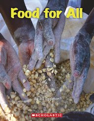
6books
Connectors Orange: Food for All (6 Copies)- eur prices
- Offer price: €48.10
- RRP: €57.33
- Not available to buy with Rewards
-
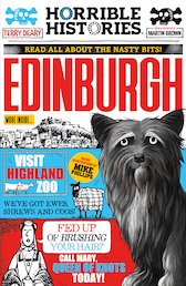
Horrible Histories: Edinburgh (newspaper edition)
Award-winning author
- eur prices
- Offer price: €7.00
- Rewards/RRP: €10.28
-
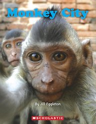
6books
Connectors Turquoise: Monkey City (6 Copies)- eur prices
- Offer price: €48.10
- RRP: €57.33
- Not available to buy with Rewards
-
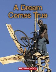
6books
Connectors Purple: A Dream Comes True (6 Copies)- eur prices
- Offer price: €48.10
- RRP: €57.33
- Not available to buy with Rewards
