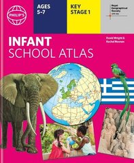
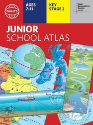
Collins Primary Atlas x 6 Pack

6copies
This product is not currently available.
To help you find what you're looking for, see similar items below.
This product has not been rated yet.
0 reviews (Add a review)
Delivery information
- FREE ROI postage on orders €40 or over
- €8 postage charge on ROI orders
under €40
Book Club orders
- FREE postage to schools*
- Books will be despatched after the school's order is confirmed
ROI postage within 8 working days
Postage charges and times vary for overseas addresses
Delivery information and refund and returns policy
*Excluding border charge
Product description
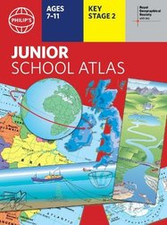
So – you know the basics of maps and how to find places on them. But what next? What else can you do with maps? The answer is LOTS! For example, landscape maps show you what the physical environment of a place looks like. (Think rivers, hills and landmarks.) Political maps show you where the boundaries of different countries are. Maps also use scale, grid references, compass points, keys and symbols to give you useful information. Find out how maps do all these things and more in this colourful atlas, which includes each country’s national flag!
- A bright atlas that supports the KS2 geography curriculum
- Coloured political maps of the world with national flags
- Continental relief maps which highlight physical features
- Teaches map-reading concepts such as scale and symbols
- Includes mapping of relevant topics for Key Stage 2
- Perfect for children aged 7-11 at school or at home
Supplied as a pack of six copies.
#sum-18-ie
Product Details
Format
Paperback
Date published
May 4th, 2017
Condition
New
In this pack
Reviews
This product has not been reviewed yet.


